MY COUNTRY AND ITS LANDSCAPE ( PART 3)
MY COUNTRY AND ITS LANDSCAPE (PART 4)
GOOD MORNING STUDENTS😊😊😊
Today we will be doing the last portion of this chapter.
Once again before the lesson check your previous HW👇
Q 5. What is a physical map?
Ans A Physical map is designed to show the physical features and landforms of a particular area.
Q 6. Name the six major physical divisions of India.Name the physical division in which your state lies.
Q 6. Name the six major physical divisions of India.Name the physical division in which your state lies.
Ans INDIA HAS 6 PHYSICAL DIVISIONS.These are
- The Northern Mountains
- The Northern Plains
- The Great Indian Desert
- The Peninsular Plateau
- The Coastal Plains
- The Islands.
Ans The Northern Mountains
- form the northern border of the country
- they are the source of many rivers.
Ans The land is very fertile so many crops can be grown .
Q 9. What is The Great Indian Desert also known as ?
Ans It is also known as the Thar Desert
BY THE END OF TODAY'S BLOG YOU ALL SHOULD BE ABLE TO

LET'S GET FAMILIAR WITH THE NEXT 3 LANDFORMS namely The Peninsular Plateau , The Coastal Plains and The Islands.
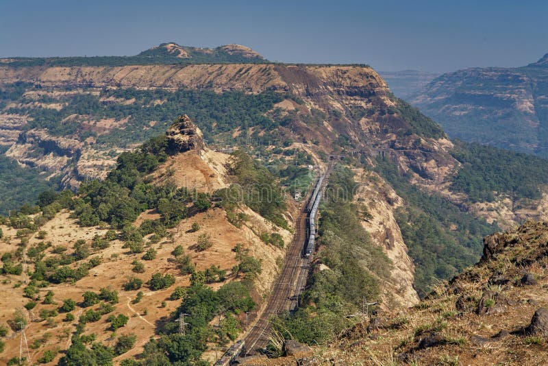
THE PENINSULAR PLATEAU
TASK 1 CW. Please type your answer in the comment box and don't forget to press publish .
______________ is a piece of land surrounded by water on three sides.

Q 9. What is The Great Indian Desert also known as ?
Ans It is also known as the Thar Desert
BY THE END OF TODAY'S BLOG YOU ALL SHOULD BE ABLE TO
- define Peninsula, Island, Plateau
- give the important features of the 3 physical divisions 👇
- correlate the landforms with the physical map
LET'S GET FAMILIAR WITH THE NEXT 3 LANDFORMS namely The Peninsular Plateau , The Coastal Plains and The Islands.
THE PENINSULAR PLATEAU
TASK 1 CW. Please type your answer in the comment box and don't forget to press publish .
______________ is a piece of land surrounded by water on three sides.
The beige coloured area👆in the map you can see is surrounded by water on 3 sides.
Main features
- The light brown portion in the map denotes The Peninsular Plateau.
- It lies to the south of the Northern Plains.
- The Peninsula is inverted triangular in shape and extends till the southernmost tip of the mainland.
Coast is land near the sea or ocean:👇
Main features
- The dark green portion denotes The Coastal Plains.
- The Coastal Plains lie on the eastern and western coasts of the country.
- In the west, the Coastal Plains occupy the region between the Arabian Sea and Western Ghats.
- In the east, the Coastal Plains occupy the region between the Eastern Ghats and the Bay of Bengal.
THE ISLANDS : On the map you can see small blue dots in the seas surrounding the mainland they are islands.
An Island is a piece of land surrounded by water on all side.👇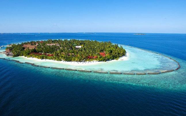
Main features
- The blue portion in the map denotes The Islands. denotes means to show a sign of, to mark or indicate something.
- India has an island group on its either side.
- The Andaman and the Nicobar Islands are located in the Bay of Bengal.
- The Lakhadweep Islands are located in the Arabian Sea.
That's all for today boys.
Just Read the entire lesson for HW
Bye and Take Care. 😇👋


Good morning ma'am,
ReplyDeleteAyush Kandaiburu, 4C
Good morning maam, JOJO GINVANGLIEN 4C
ReplyDeleteGood morning ma'am Ishitva Rohila class 4 c
ReplyDeleteGood Morning ma'am
ReplyDeleteSai Tanush-4C
Ans of task 1 is Peninsula
ReplyDeleteGood. Right answer.
DeleteGood morning mam satwik kumar4th-c
ReplyDeleteGood morning Ma'am
ReplyDeletePG Wilson
4C
Good morning ma'am I am Yashab Walker class 4 C
ReplyDeleteNaitik sachdeva
ReplyDelete4C
Kartik Bhatnagar 4C
ReplyDeleteGood morning ma'am Sarabjeet Singh 4C
ReplyDeletegood morning mam Sarthak Kumar 4C Roll No.23
ReplyDeleteGood morning Ma'am. Aadi Choudhury, 4C.
ReplyDeleteNimit Maggo 4c
ReplyDeleteGood Morning Ma'am!
ReplyDeleteAvdhoot Kalyani 4-C
Roll# 19
Aarav Diwan 4c
ReplyDeleteGood morning ma'am. Prakhar Raj,4C
ReplyDeleteGood morning mam I am Arnav Kuraria of-4C
ReplyDeleteGood morning Ma'am, Priyanshu Jha, 4th C (8th April 2020)
ReplyDeleteIt's peninsula
ReplyDeleteRight answer.
DeleteThis comment has been removed by the author.
ReplyDeleteNo, the answer is peninsula.
DeleteAn island is surrounded by water on all sides.
Ok mam
DeleteGood morning mam Arnav negi 4c
ReplyDeleteGood morning ma'am My name is Syed Mohd Maaz class 4 th C
ReplyDeleteCW :
ReplyDeletetask 1: The Deccan Plateau
No, it is peninsula.
DeletePlateau is a landform.
Answer is island
ReplyDeleteAn island is surrounded by water on all sides.
DeleteSo, the answer is peninsula.
Samuel paul khokhar 4th C
ReplyDeleteGood morning ma'am , TIAMEREN JAMIR 4C, Answer is PENINSULA
ReplyDeleteRight answer.
DeleteThe answer of task 1 is Peninsular Plateau
ReplyDeleteThe answer is peninsula.
DeletePeninsular plateau is a part of a land too.
Good morning ma'am, Abel Bernard, 4C, Roll number 3
ReplyDeleteAARISH JAIN 4-C
ReplyDeleteAarav Diwan 4c
ReplyDeleteRevise what we have learnt today .We will be continuing with the same topic tomorrow. Stay healtyh.
ReplyDeleteGood Afternoon Mam.Trijal Inamdar 4c.
ReplyDeleteGood morning... Arnick sidhu 4th c
ReplyDeletegood morning maam
ReplyDeletemanish jain 4c
Good morning mam
ReplyDeleteArnav Negi 4C
R#36
Good morning ma'am
ReplyDeleteAustin Sijo 4 C
Good afternoon mam, I'm Arnav Mehta 4C
ReplyDeleteGood Afternoon ma'am
ReplyDeleteYashraj Pramod 4C
Good afternoon mam..I am yug monga of class 4th -c
ReplyDeleteTHE ANSWER IS PENINSULA..
DeleteGood afternoon ma'am, Abel Bernard, 4C, Roll Number 3
ReplyDeleteGood morning mam. V. Madhav 4C.
ReplyDeletepeninsular plateau
ReplyDeletemanish jain 4c
Good morning Mam I m Shubh Sharma 4c
ReplyDeleteGood morning ma'am... Arnick sidhu 4th-c
ReplyDeleteGood morning mam, I am Arnav Mehta 4C
ReplyDeleteGood afternoon Mam... rachit Arora 4C roll no1
ReplyDeleteUDHAN GOSAVI 4 C
ReplyDelete